|
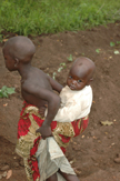
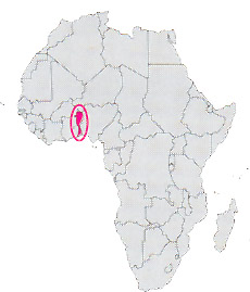
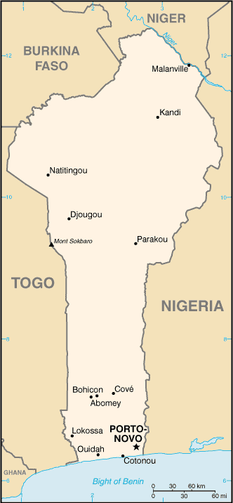
Location: Africa
Capital: Porto-Novo ( 180.000 inhab.)
Main Cities: Cotonou
Population: 6,000,000
Area: 112,622 km2
Coin: 1 CFA franc = 100 centimes
Languages: French, local dialects
Religions: Animist, Muslim, Roman Catholic
The Independence's Year: 1960
Mountain: Chain of the Atakora
Rivers: Niger, Okpara
|
 |
|
It's a republic of western Africa, that overlooks the Gulf of Guinea with a hold coastal band hemmed by numerous lagoons.
It was the ex French colony of the Dahomey, that has assumed the actual name in 1975.
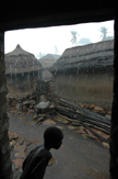
The capital is Porto Novo on the homonym lagoon, but the greatest city is Cotonou, an important seaport on the Atlantic ocean.
It's an agricultural country, with beautiful plantations of manioc, of corn and of pineapple, but on the sea the oil is also extracted.
To Abomey the Royal Building of the ancient kingdom of the Dahomey is found, mixed of red clay and human blood, now patrimony of the humanity of the Unesco.
The north of the nation is multi-ethnic, punctuated by numerous villages with the spectacular architectures of earth and straw of the tribes Taneka, Somba and Tamberma.
| * Information and news of every kind (and photographic documentation) about Benin are to disposition of the partners of the Worldwide Geographic Academy: info@accademiageograficamondiale.com |
|
|